• Home
  • Information
  • Cruise Pages
    • BATHYLUCK
    • EDUL
    • ERODER
    • FOREVER
    • GRAVILUCK
    • HYDROSNAKE
    • MOMAR'08
    • MOMARDREAM
    • MOMARSAT Cruises
    • ODEMAR
    • ROVSMOOTH
    • SAMUDRA
    • SMOOTHSEAFLOOR
    • SUBSAINTES
    • SWIFT
  • Home
  • Information
  • Cruise Pages
    • BATHYLUCK
    • EDUL
    • ERODER
    • FOREVER
    • GRAVILUCK
    • HYDROSNAKE
    • MOMAR'08
    • MOMARDREAM
    • MOMARSAT Cruises
    • ODEMAR
    • ROVSMOOTH
    • SAMUDRA
    • SMOOTHSEAFLOOR
    • SUBSAINTES
    • SWIFT
  LITHOTHÈQUE IPGP - IPGP ROCK REPOSITORY
  • Home
  • Information
  • Cruise Pages
    • BATHYLUCK
    • EDUL
    • ERODER
    • FOREVER
    • GRAVILUCK
    • HYDROSNAKE
    • MOMAR'08
    • MOMARDREAM
    • MOMARSAT Cruises
    • ODEMAR
    • ROVSMOOTH
    • SAMUDRA
    • SMOOTHSEAFLOOR
    • SUBSAINTES
    • SWIFT

SMOOTHSEAFLOOR-MD183 - 2010


South West Indian Ridge (~62°-65°E)
02/10/2010 - 03/11/2010
Cruise onboard N/O Marion Dufresne with the towed sonar system TOBI (NOCS) to study the formation of smooth seafloor and mantle emplacement on-axis. 
PIs: D. Sauter, M. Cannat
Sampling: Dredging.


Cruise info: https://doi.org/10.17600/10200050 
Cruise Report: 
https://archimer.ifremer.fr/doc/00512/62349/

​Files: Dredges (files finishing with _dre.xls), dredge samples (_drs.xls) and KML file of dredges:
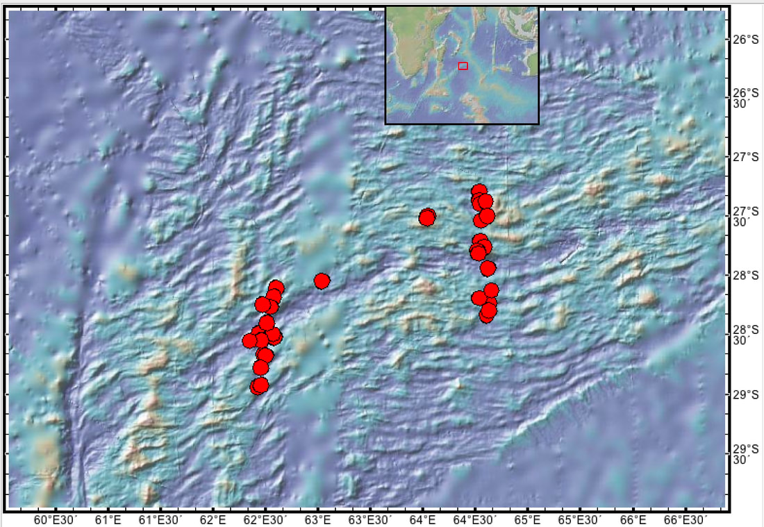
sms_dre.xls
File Size: 47 kb
File Type: xls
Download File

sms_dre.kml
File Size: 25 kb
File Type: kml
Download File

sms_drs.xls
File Size: 638 kb
File Type: xls
Download File

Picture
Map: Red: dredges.